f = m * a

In a conversation at the end of Sunday’s walk, we realized just how much energy is actually involved in such a trek. Our vertical ascent was about 1100m, spread between climbing Yoke and following the ridge of the Kentmere Horseshoe. That is about 75kg of me personally, plus a pack. Imagine me falling from 1100m up, and you begin to appreciate the gravitational potential energy built up through the (not entirely efficient) expenditure of chemical energy. We also traveled more than 20km, as the crow flies. Then, there is the fact that we had to absorb all the energy from all the descents into our muscles and dissipate it. Add in the energy required to keep us warm, balanced, and thinking, and you are racking up a good number of calories.

It’s amazing how far some dry cereal, two sandwiches, a couple of chocolate bars, and ones various short and long-term energy stores can go. The fact that I didn’t feel unusually hungry at any point during the weekend suggests that those stores were not seriously depleted.

As you may guess, this weekend included a lot of interesting discussion about physics, biochemistry, and physiology. We also learned a good bit about sheep.
Back from the Lakes

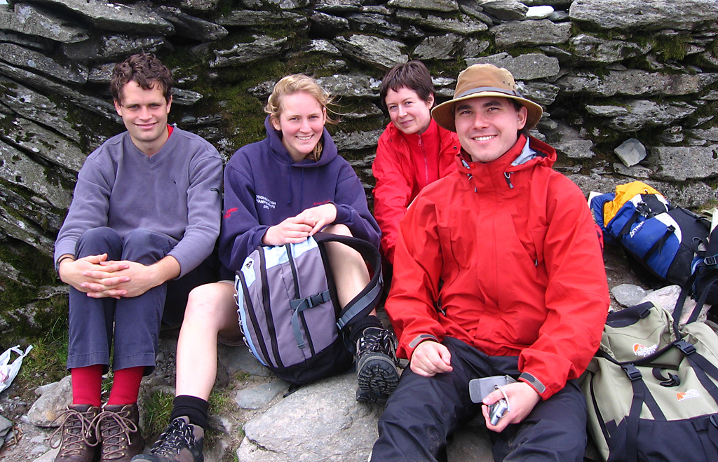
Barney Stratford, Emma Henderson, Dobrota Pucherova, and Milan Ilnyckyj

The weekend in Lakeland was most enjoyable. We spent Saturday and Sunday walking, each time going around a horseshoe of peaks. Saturday, it was the Coniston horseshoe, starting with the Old Man. That day involved some enjoyable scrambling, a bit of actual rock climbing (for those who cared to try), and a brief nighttime rescue operation. Thankfully, those we set out to find met us on the road back from where we were heading to look for them. Sunday, we did the Kentmere Horseshoe, starting with Yoke.

The walking was atypical of the club for a couple of reasons. Firstly, I had never previously spent a day with them in which it did not rain significantly. Neither day of this trip involved any rain at all. Secondly, this was distinctly less strenuous than Snowdonia, which was distinctly less strenuous than Scotland. I rather enjoyed the drama of steep slopes and narrow, windy ridges during the previous two trips. Of course, there is something to be said for sheep-speckled tranquility as well.

In terms of company, this trip met the high expectations I had of the Walking Club. There is always a fascinating mixture of people from different fields – from theology to comparative literature to medicine – and they tend to get along in a very spontaneous way, even when they have not met before.

Photos and such to follow. For now, I need to get some sleep.

Trip tally

Trips in the UK

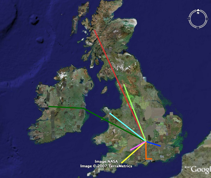
Here is a simple map of my trips in the British Isles so far. Blue is for London, visited many times (1, 2, 3, 4, 5) . Orange is the the trip to Chichester for Sarah Webster’s wedding, with the eastward jot to Arundel shown also. Yellow is the reading retreat to Devon, while pink is for my day in Bath. Green is the excellent Ireland trip: to Dublin and then across to Galway. Light blue is the Walking Club trip to Snowdonia. Red is their trip to the Scottish Highlands, and light green is this weekend’s trip to the Lake District.

All told, it’s not too shabby an exploration. That is especially true when one considers the number of papers I wrote, the thesis, exams, and other trips to Estonia, Finland, Malta, Turkey, Vancouver, and Paris.

Now at eye level

Google Maps has added street level views. Check out Times Square or the Golden Gate Bridge. People in major American cities may now switch from looking at their roofs from space to looking at an archived image of their front door from across the street.

For a general collection of interesting things that have been spotted using Google Earth and Google Maps, see Google Sightseeing.

Three follow-ups

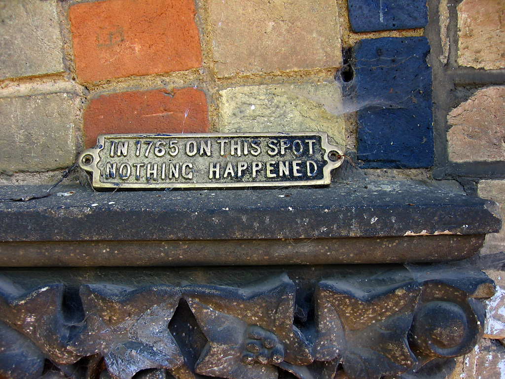
Nothing happened here

1) Remember how our flat got deprived of refrigeration? One week on, we are still subsisting off of bread and cheese we keep cold in the metal cages outside our windows. We call them the ‘alternative fridges.’

2) Remember how I lost the ballot for the Lake District trip with the Walking Club? Well, somebody dropped out. Because I expressed so much interest in it, they offered the spot to me. As such, I will be climbing mountains again from June 1st to 3rd. The only thing that would make it better would be having more than 16 days left before exams.

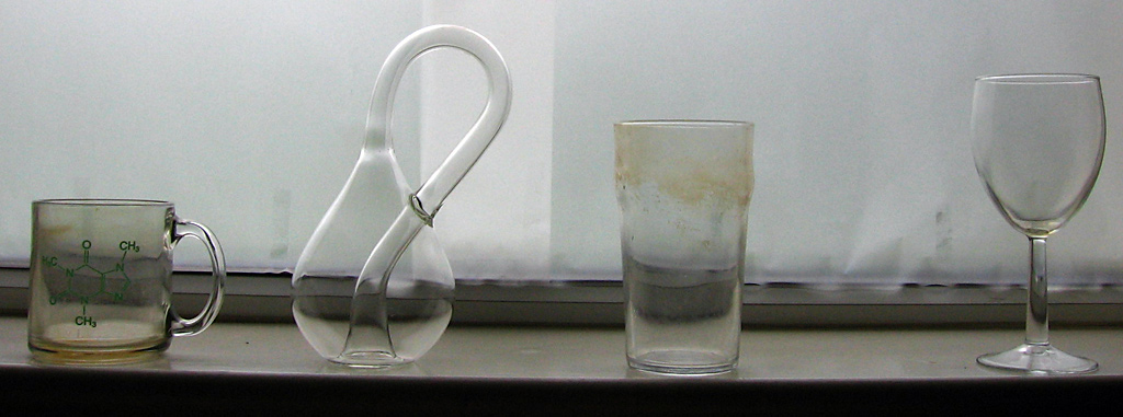
3) Remember ‘Studio Photography on the (very) cheap?’ Well, I have figured out how to build a large and effective diffuser for under $3. That was the purpose behind this query. Two sheets of A1 tracing paper turn out to perfectly cover the lower section of the window.

Note how English tea stains glassware. The picture would be a lot more attractive if I propped the glass objects up on something, cleaned them before taking the photo, and photoshopped away the tape holding the paper to the window and the place where the two sheets overlap. This was meant to illustrate the assembly, not be artistic of itself.

Non-metaphorical icebreaking

A couple of interesting random facts that I came across today, about the ferries that operate in the Baltic, including between Tallinn and Helsinki:

  1. Many of these ships have an ice class of 1A Super, which means they can travel through sea lanes where the ice is one metre thick, provided they have an icebreaker out front to break it up a bit.
  2. At least some of these ships (belonging to the Finnish shipping company Eckerö Line) were specifically made NATO-compatible, so that they could be rapidly converted into troop carriers in the result of the Cold War becoming hot.

The details of icebreaker design are quite interesting, though I suspect that building them will not be a growth business in the decades to come. Of course, if the northern polar region melted enough for icebreaking routes to be profitable forms of shipping, that might prove to be untrue for a certain period of time.

GPS and navigation

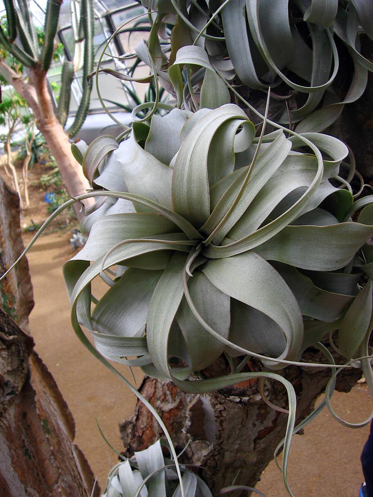
Oxford botanic gardens

I have been annoyed recently by full-page ads in which RIM is advertising the navigational capabilities of their new BlackBerries. They suggest that people can throw away maps and compasses and wholeheartedly embrace the combination of GPS and electronic maps.

I know firsthand how useful GPS can be. As an altimeter or a way of locating yourself in a featureless landscape, it cannot be beaten. Likewise, it is very helpful for quickly figuring out where you are when you are out on the water in a canoe or kayak. All the same, I think there is a fundamental value in being able to read a map, locate yourself on it, and work out a course to where you want to be. It isn’t enough to take a course in these things and forget about it. As with any complex skill, practice is important.

Some common sense is also a necessity, no matter how you are navigating. If your GPS-based automobile navigation system tells you to drive along train tracks, you should be aware that machines are fallible, and highly stupid as well. They have no common sense by which to evaluate whether, for instance, a bridge has been washed out or whether a linear course between A and B includes a series of lethal cliffs. There is also the small matter that some dead batteries a splash of water or a dropped piece of gear could knock out both your map and compass equivalent, if you are relying on a GPS system.

Related posts:

54 days left in England

I have booked my flight back to Canada for the 2nd of July. My exams are between June 11th and 13th. On the 29th, it is possible that I will have a viva (oral) examination. That would only be if I found myself on the cusp of passing or failing, or passing and getting a distinction.

Whittling down my possessions to two checked bags of under 20kg will be a challenge. Oxford residents may be interested in what I have for sale.