Category: Exercise
First time at Biidaasige Park
Photo by Jess
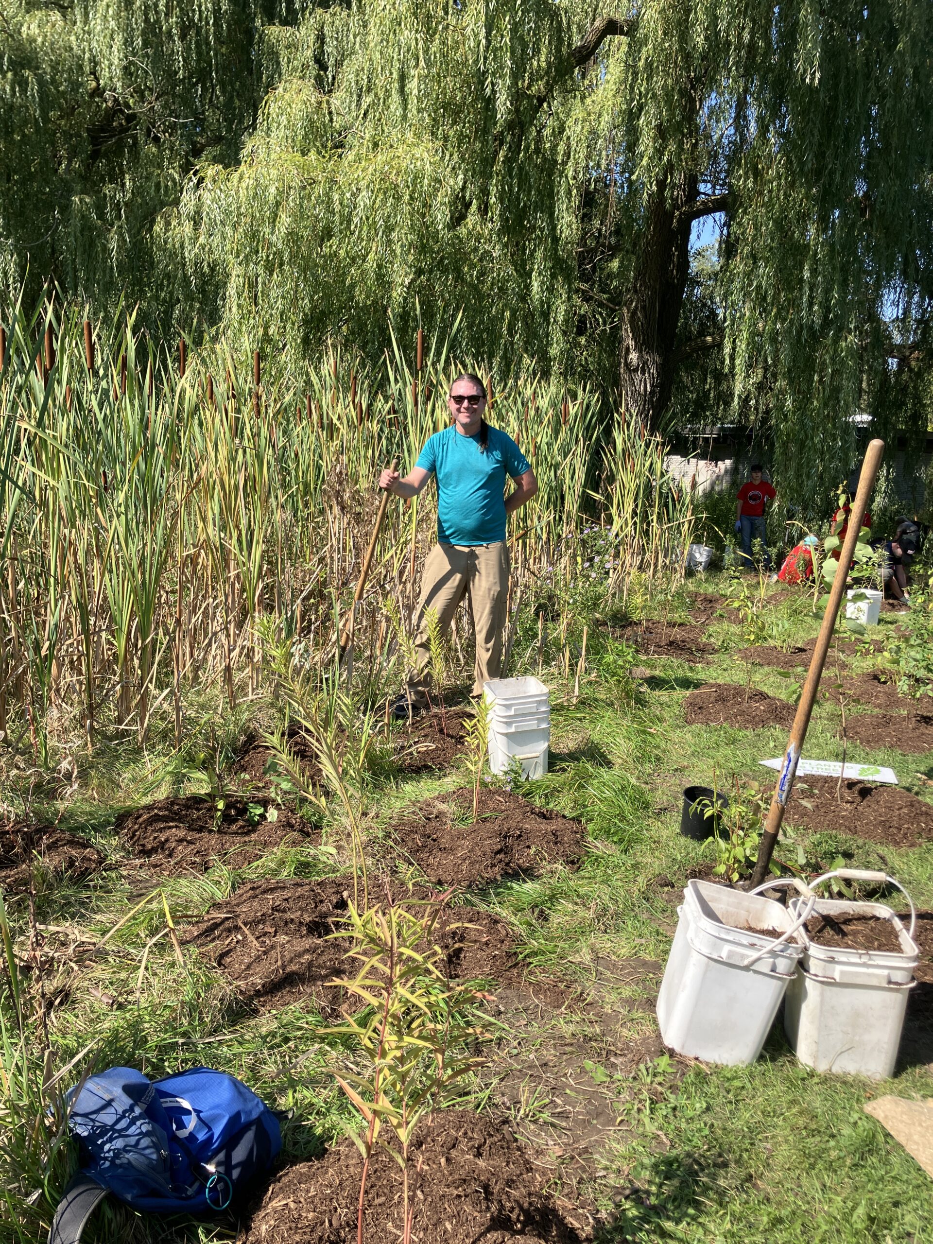
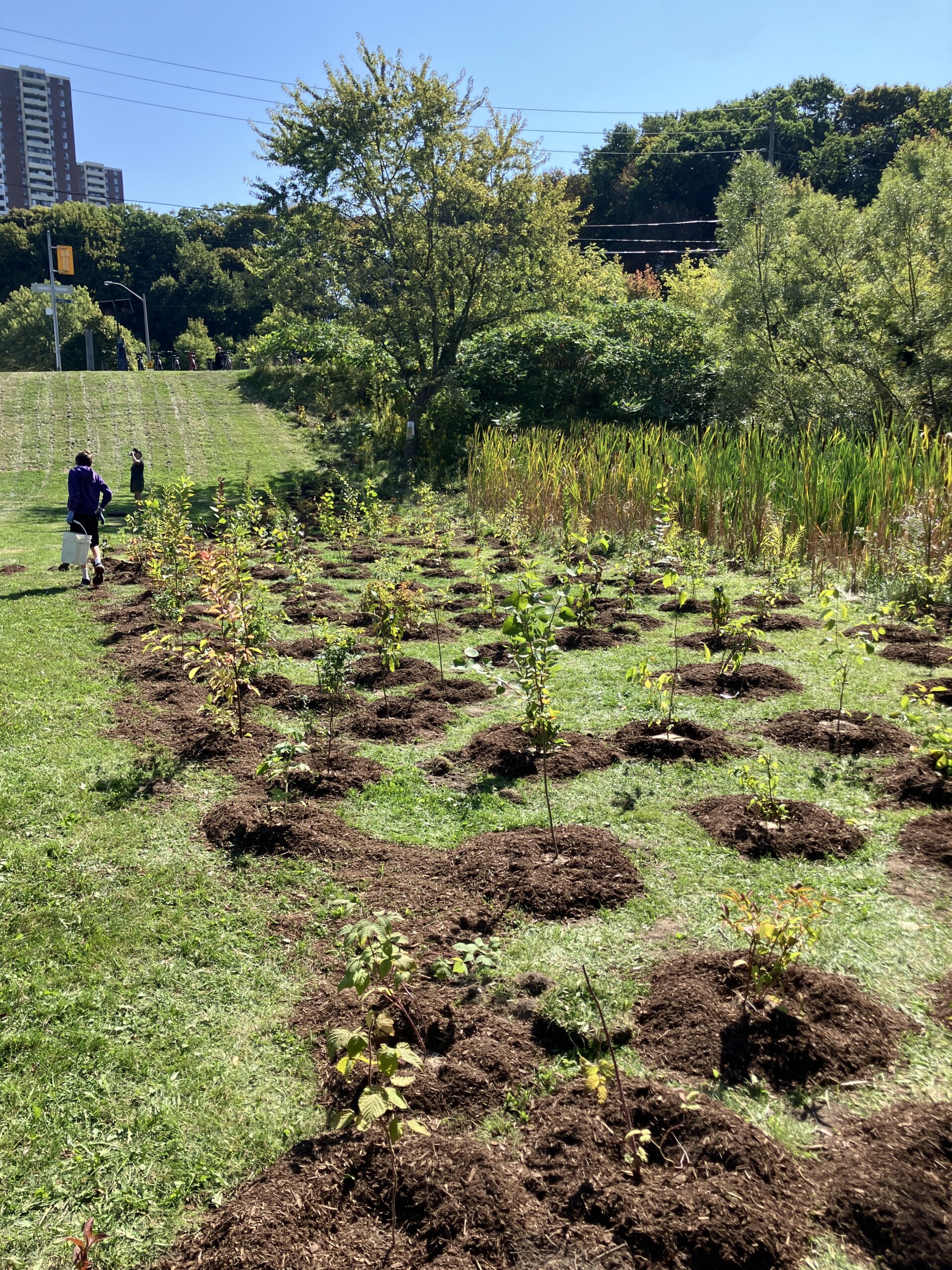
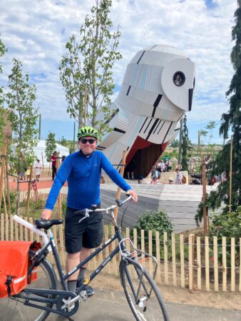
I had a great Saturday. It was cool enough not to be oppressive, and I was able to ride down the Don past the Brickworks to the new Biidaasige (bee-daw-sih-geh) Park. The park is very impressive. They have turned the engineered, industrial, concrete landscape around the mouth of the Don River into a real human space again, and an alluring one. There is a large outdoor adventure playground with ziplines, charmingly rendered animal play sculptures, and two-story high treehouses shaped like a raccoon and an owl, the latter of which has a tiny amphitheater in front. Within a large landscape of springy concrete, kids can use human-powered pumps to move water into a simulated watershed with controllable floodgates and sand areas to play in. There are curving paths along the new rivercourse, which is lined thickly with native plants. There are also boat launches and fishing spots.
The park grand opening was happening just a short ride from the Neon Riders BBQ, so I was able to see some friends there and bring one back for another ride through Biidaasige Park. After that, another friend from the Riders had a charmingly creative and playful music gig in Bickford Park, which was further enriched for me by a pair of very friendly dogs who were part of the small audience.
A river mouth should be a geographical anchor and natural point of interest. As someone who has walked extensively all over Toronto, the way the Don came to an end failed to satisfy those expectations. With Corktown Common, Biidaasige Park, and the other park areas still in progress, the city is doing a great job at making the river mouth part of the human landscape again. I have thought for years that Toronto’s greatest planning blunder was cutting off the city from the lake with the Gardiner Expressway. Personally, I would be fine with getting rid of the whole thing through the mechanism of less driving downtown, but while we are waiting it’s great that at least the river is being reclaimed.
The ziplines all had long lines of small children on Saturday, so I will need to return when things are less crowded. I expect Biidaasige Park to become a popular break spot for Neon Rides.
P.S. At an arts and crafts station, I was taught to make ‘seed bombs’ out of dirt, pottery clay, and heirloom open-pollinated seeds of Common Evening Primrose (Oenothera lamarckiana) from the Ecoseedbank in Montreal. The flowers are native to the region and good for pollinators, and the initiative reminds me of charming videos of dogs who help re-seed the forest after fires in Chile.
New parkland
I’m excited about Toronto’s launch of Biidaasige Park tomorrow. How often does a city get a big new area of green space, and in as geographically and ecologically important a place as a river mouth?
The current extent of the PanWalks Project
Muscle exertion, and drawing by moving, on foot and by mechanical bicycle:
Island ride
I had never taken a bicycle to the Toronto Island before, so yesterday I went with my friend Lance to ride the different tracks:
He also very kindly made us bannock, coffee, and bacon on his portable twig stove, and even brought along hammocks and lent me one after:
Soon, some friends are planning to ride up the Humber from Old Mill station toward the West Humber trail and Claireville conservation area.
Three heat wave densification rides
Here’s a bit of a neat animation which I put together showing three heat wave after-work rides this week.
The green, blue, and red tracks show my Dutch bike rides on Monday, Tuesday, and today.
The white tracks show every other Dutch (3,437km), Bike Share Toronto mechanical (2,522km), and loaner bike tracks (85km):
The streets I sought out are little visited because they tend to be inconvenient and not to serve as an effective way to get between places beyond. That does make them blessed with light traffic, and the large properties have some of Toronto’s most ancient and impressive urban trees.
It’s remarkable that even someone trying to explore can ride past the same streets over and over, within the densest part of their ride network.
This also marks over 6,040 km of mechanical bike exercise rides in Toronto.
Dense exploration
g
Linking routes in western Toronto
Yesterday’s route in green
After work yesterday, I took advantage of the Bloor bike lanes prior to their removal and connected some disconnected tracks in the west of the city. I rode all the way to where the bike lanes end at Kipling, then took Dundas West northeast to where it splits: with St. Clair Avenue north of the rail lines and Dundas south. I took St. Clair to Prospect Cemetery, and then the familiar route north up the cemetery and then east along the York Beltline and Kay Gardiner Beltline trails.
Bad weather projected for Thursday has the Neon Ride delayed until Friday, and I am also talking with friends about a daylong ride north up the Humber ravine to the arboretum.
Neon Ride 2025-06-12
Pandemic walks extentification project
My pandemic walks project has involved a lot of densification: trying to exhaustively make use of all possible routes within a geographic area, acting as a kind of human radioactive tracer running through the city’s circulatory system.
This has been interesting and has led to some nice still and animated art.
At the same time, the whole project was motivated in part by the desire to avoid visiting and re-visiting the same areas during the pandemic. That, combined with pleasant spring weather, has me thinking about reorienting from densification toward extentification, both undertaking new rides to expand the total area explored and working to add days with over 100 km of riding.
I made some maps to get a sense of how long it would take to get beyond the explored region. I added lines to show the distances to places on the outermost edges of the explored area and, in parentheses, added the Google Maps bicycle travel times there from Brentwood Towers:
(Sorry the travel times are glitched in the final map; I wanted to make all the lines the same colour and accidentally overwrote the manual Google Maps travel times labels.)
These maps show only analog / mechanical / acoustic bicycle trips, including my year on Bike Share Toronto, my Dutch bike, and the loaner I used while it was being serviced.
I need to go a long way in most directions to get beyond the network: 10–15 km in most directions. The most direct route to new kilometres is northeast, through the Bridle Path and into the areas east of the northwestern branches of the Don.
The 10,000 milli-amp-hour portable phone battery which I bought for the 2015 CUPE 3902 TA strike at U of T had started bulging, so I replaced it. I should be set for day-long extentification weekend excursions now.
P.S. I figured out how to do this in a more automated way using QGIS. First, here is the area of all the rides converted into convex hulls:
And here is a set of automatically-generated spokes radiating in all directions from the centre point of all my rides (which is predictably enough right between home and work):
The only buggy element is how it projects spokes out into the lake. Nonetheless, this provides a useful visual guide to how far I need to go to get beyond my total area explored so far by bike.


