Libraries have been one of life’s joys for me.
The first one I remember was at Cleveland Elementary School. From the beginning, I appreciated the calm environment and, above all, access at will to a capacious body of material. All through life, I have cherished the approach of librarians, who I have never found to question me about why I want to know something. Teachers could be less tolerant: I remember one from grade 3-4 objecting to me checking out both a book on electron micrography and a Tintin comic, as though anyone interested in the former ought to be ‘beyond’ the latter.
At UBC, I was most often at the desks along the huge glass front wall of Koerner library – though campus offered several appealing alternatives. One section of the old Main Library stacks seemed designed by naval architects, all narrow ladders and tight bounded spaces, with some hidden study rooms which could be accessed only by indirect paths.
Oxford of course was a paradise of libraries. I would do circuits where I read and worked in one place for about 45 minutes before moving to the next, from the Wadham College library to Blackwell’s books outside to the Social Sciences Library or a coffee shop or the Codrington Library or the Bodleian.
Yesterday I was walking home in the snow along Bloor and Yonge street and peeked in to the Toronto Reference Library. On the ground floor is a Digital Innovation Hub which used to house the Asquith custom printing press, where we made the paper copies of the U of T fossil fuel divestment brief. This time I was admiring their collection of 3D prints, and was surprised to learn that a shark with an articulated spine could be printed that way, rather than in parts to be assembled.
With an hour left before the library closed, the librarian queued up a shark for me at a size small enough to print, and it has the same satisfying and implausible-seeming articulation.
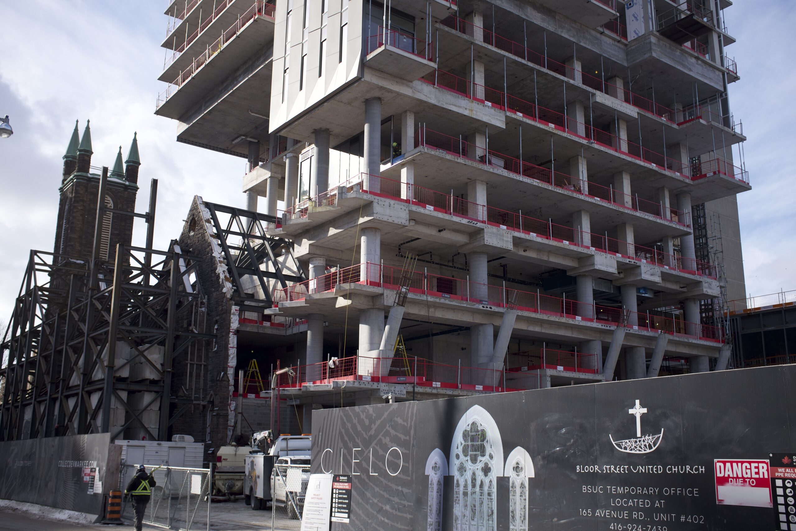
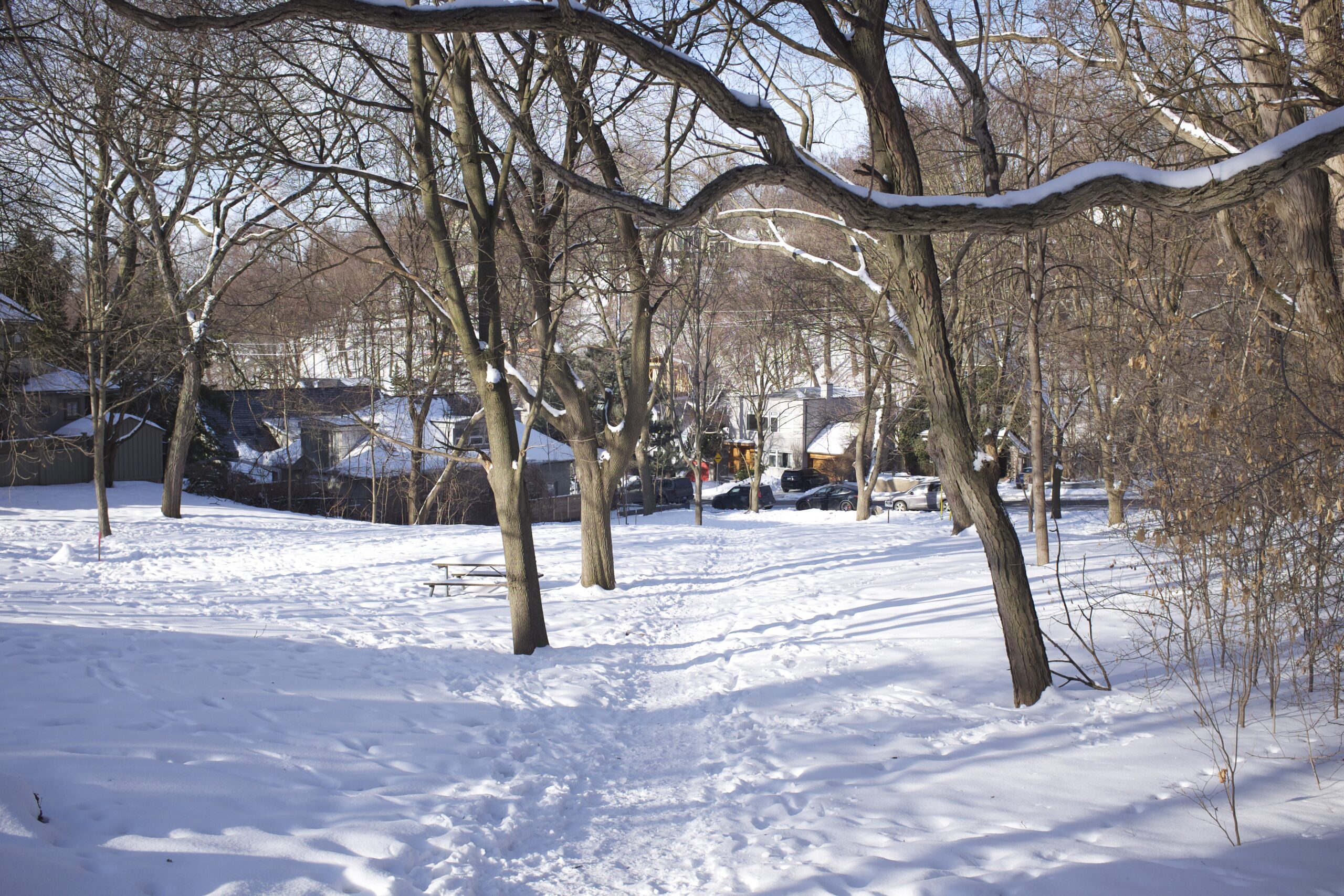
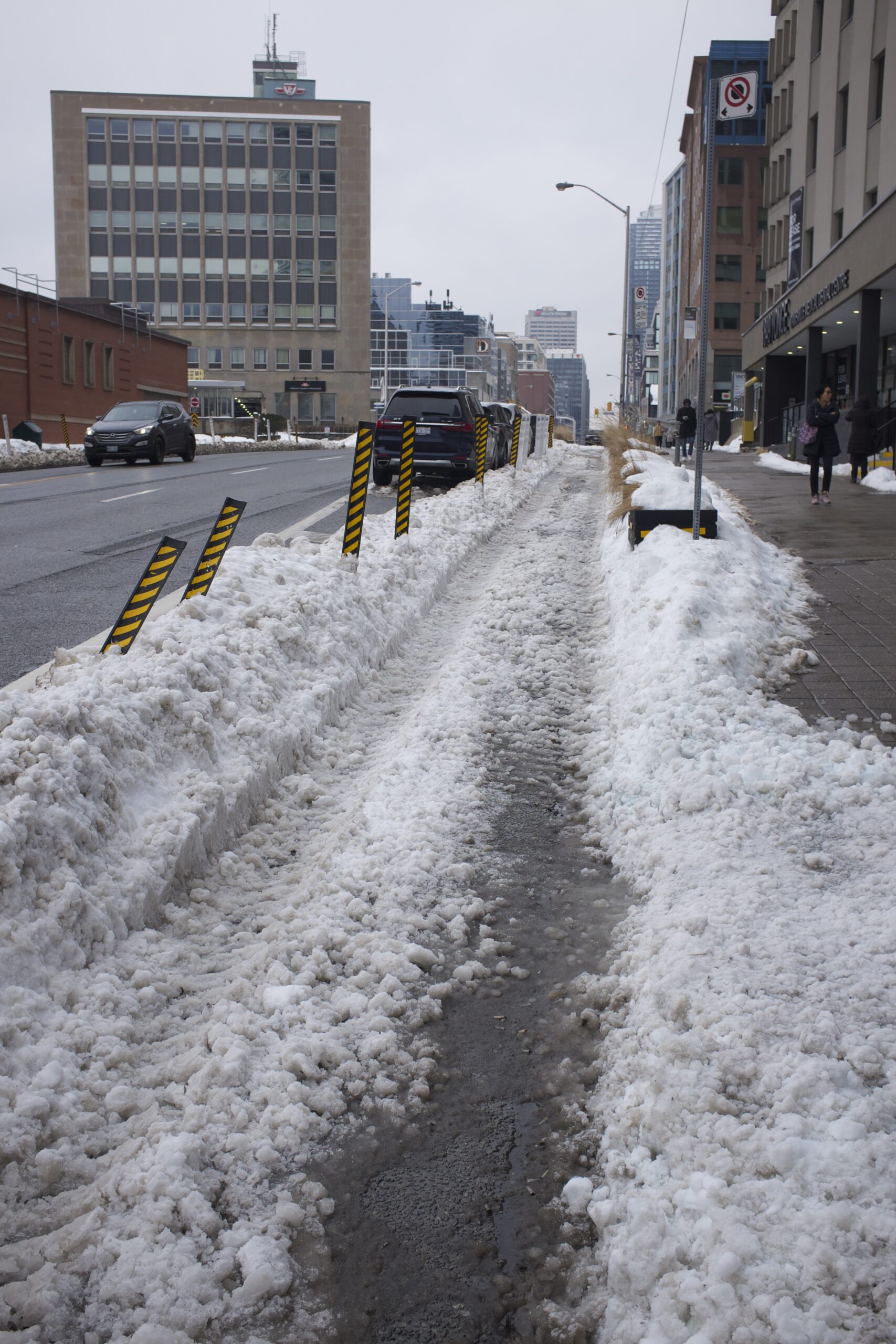
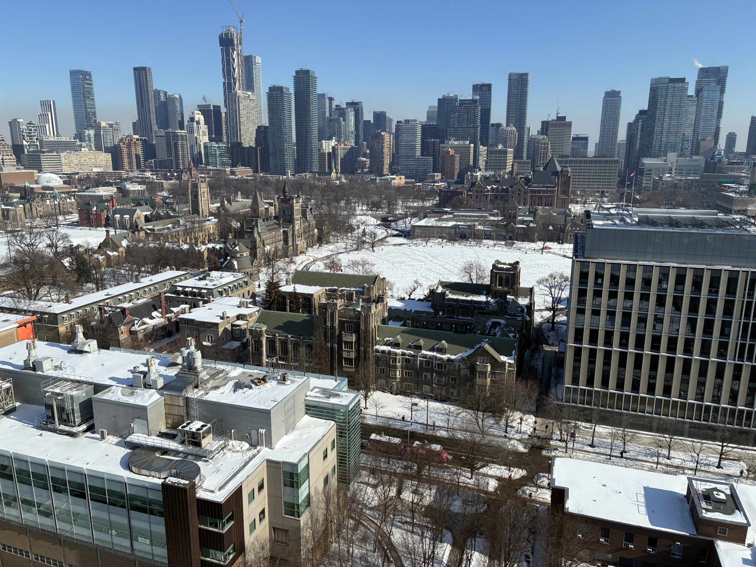
I have been feeling excessively confined lately. With snow, ice, and salt on everything it’s no time for cycling, and it creates a kind of cabin fever to only see work and home. I am resolved to spend more time at the Toronto Reference Library as an alternative.